
Historical Cornwall Maps
Cornwall was originally a district within the Kingdom of Dumnonia. The boundaries of Dumnonia were pushed westward by Wessex leaving Cornwall as a remnant. Cornwall was finally conquered by King Aethelstan, King of the English.
The bounds of the county of Cornwall were formally fixed in 936 with the River Tamar as its eastern boundary by King Aethelstan.
In 1844, the Counties Act of 1844 made some minor changes.
In 1936, the parish of Virginstow was transferred from Cornwall to Devon.
In 1966, the parishes of North Pethermin and Werrington were transferred from Devon to Cornwall.
Map of Cornwall in 1814
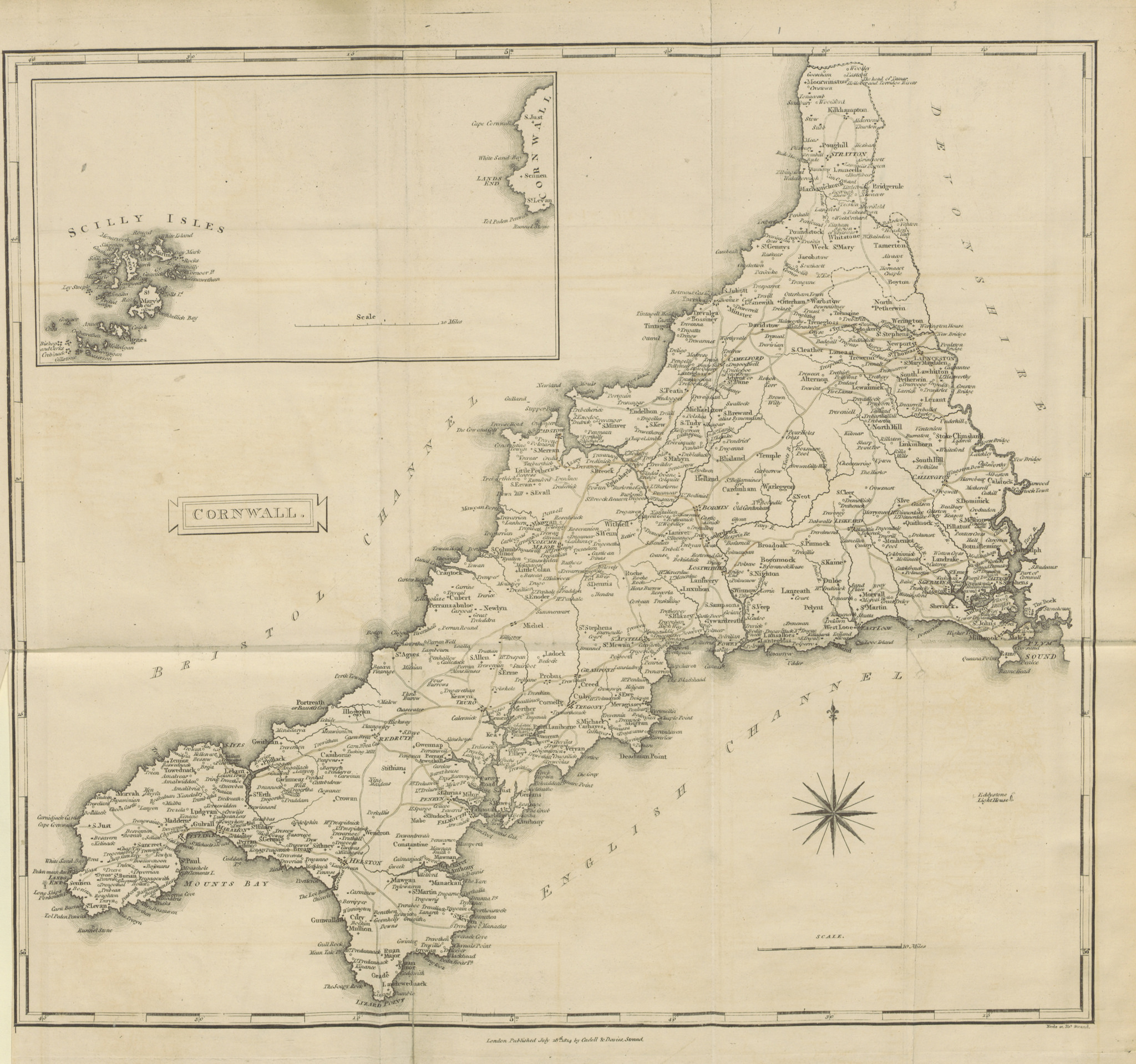
Use the magnification lens to magnify areas of interest on the map.
Ordnance Survey Maps
Ordnance Survey Maps of Cornwall, 1842 - 1952
Ordnance Survey is the national mapping agency of the United Kingdom. It was established in 1791 to produce a map of Britain and continues to the present day. The first map was published in 1801.